
Shining Tor Walk
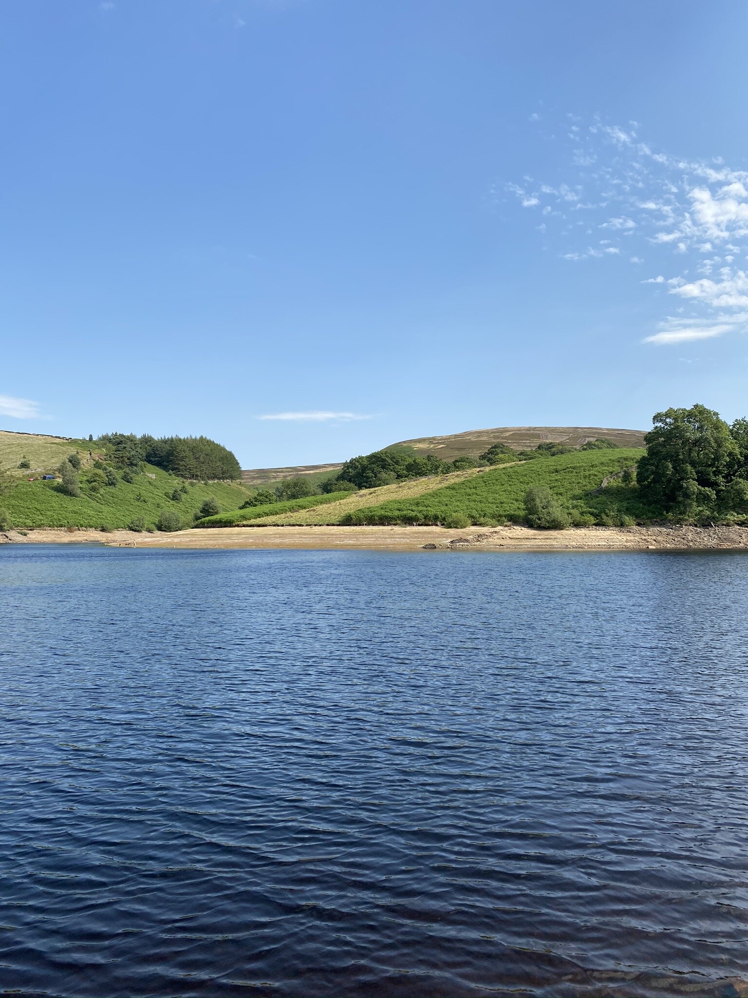
Shining Tor from Errwood Reservoir
Shining Tor is the highest peak in Cheshire, at 559m, providing picture-perfect views of North Wales, The Wrekin and the rugged hills of The Peak District National Park.
This scenic walk is one of my favourite hikes in the Peak District. It starts along the shores of Errwood Reservoir, before ascending over 300 metres to the peak of Shining Tor.
The summit, located along the Cheshire/Derbyshire border, provides breathtaking scenes as far out as Snowdonia. Be sure to spend a moment soaking up the views before returning to the reservoir via the ruins of Erwood Hall.
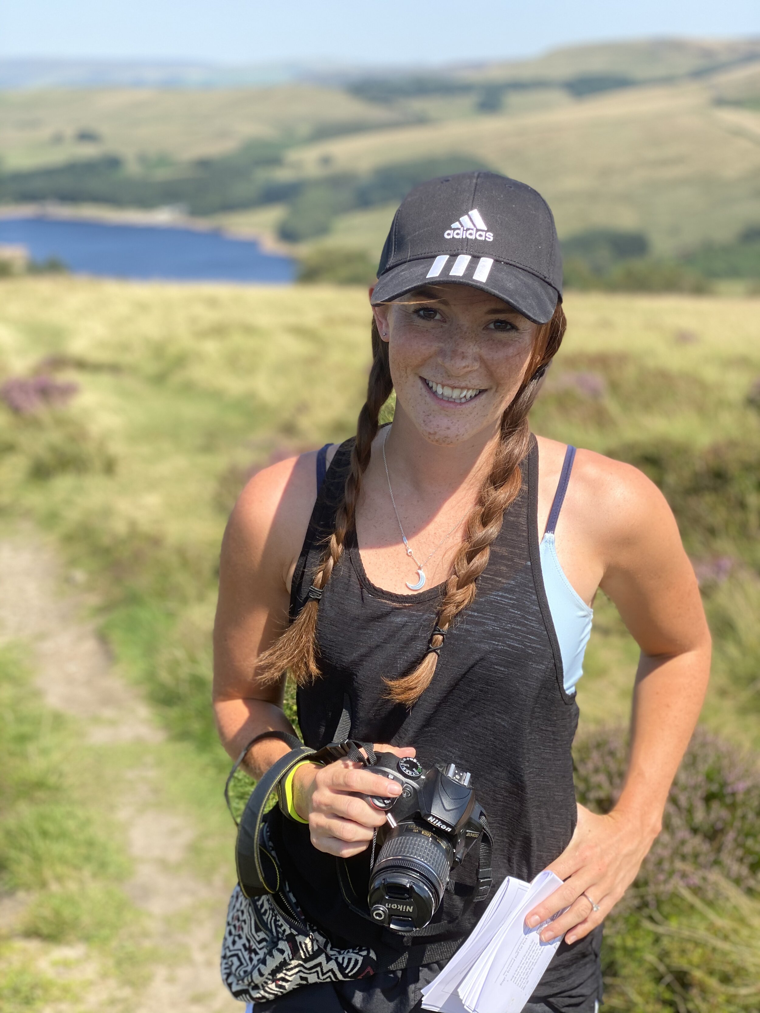
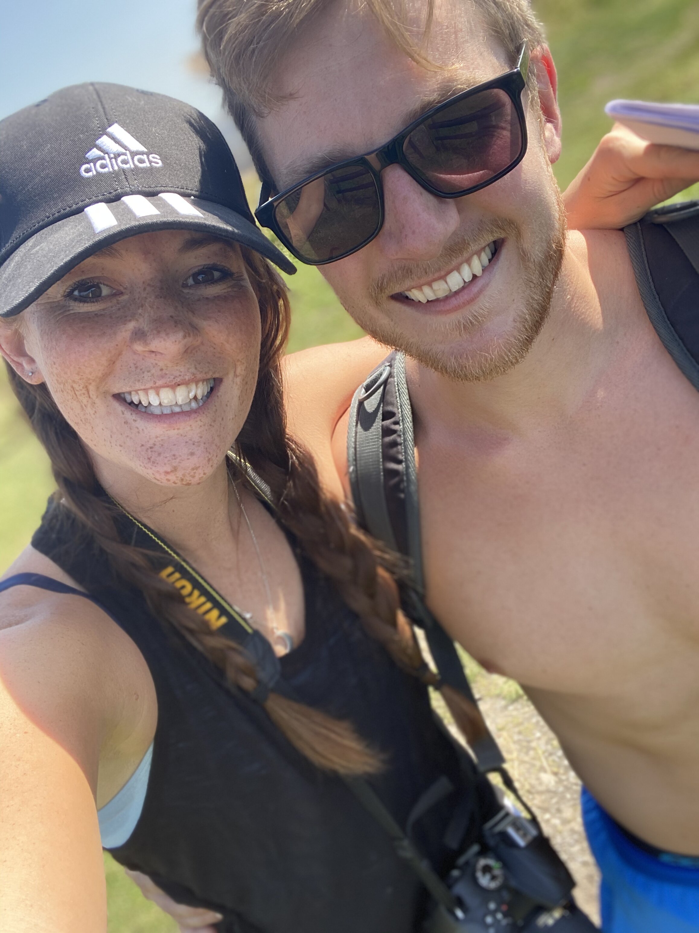
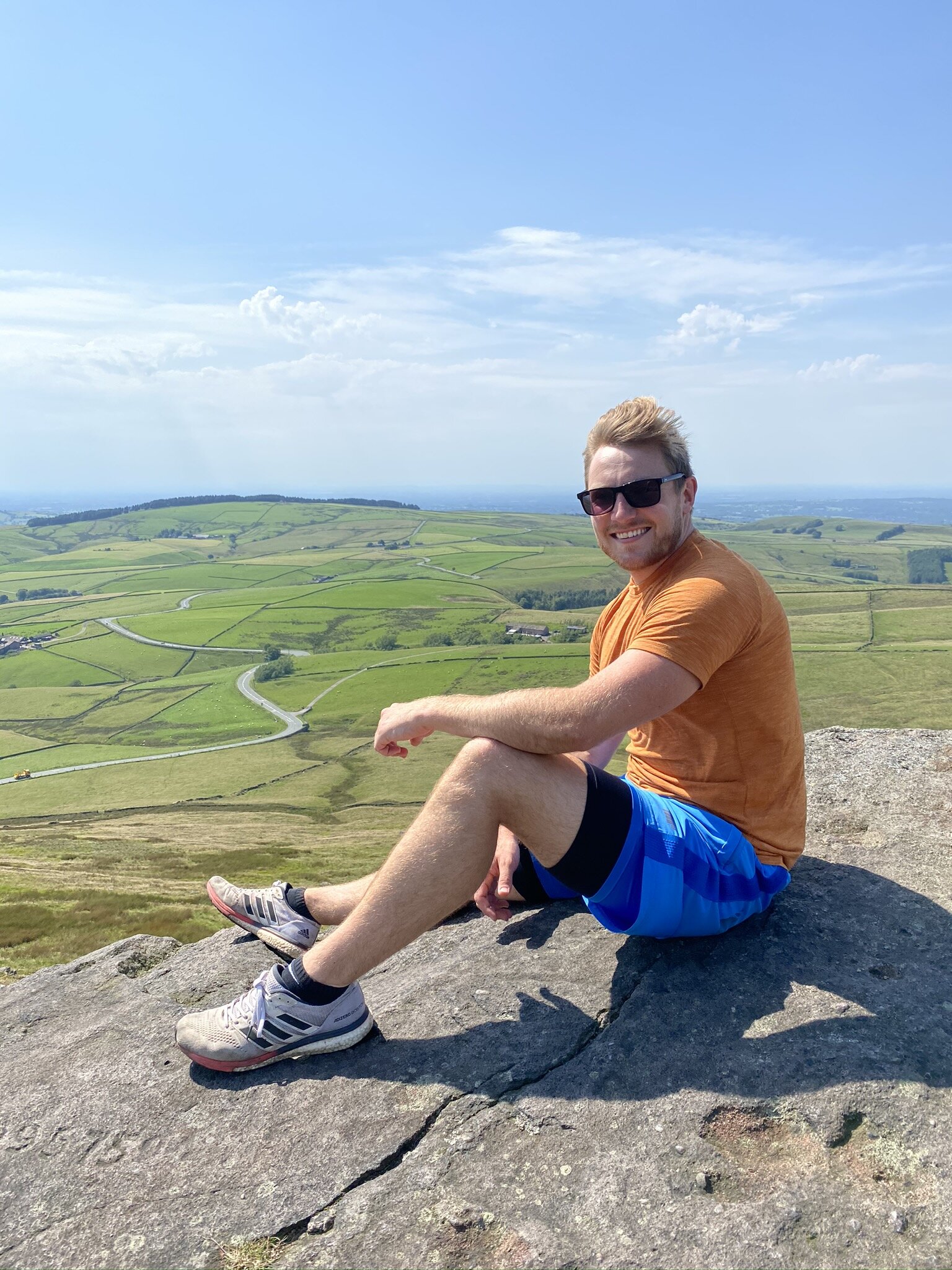
Jonny and I completed this hike in September 2021 - it’s a great walk for those new to hiking, as well as those looking for a route that doesn’t take too long to complete.
We absolutely loved it - especially the views from the summit! Check out our photos below and be sure to share this post if you find it useful!
P.S This post may contain affiliate links. If you click and purchase, I'll earn some cuppa money, which I promise to drink while continuing to create content for you. I only ever recommend products and places that I personally love and use myself.

Shining Tor Circular Walk - Details
Total Distance: 6.5km
Total Time: 1.5 - 2 hours
Elevation: 300m
Starting Location: Errwood Hall Car Park (SK17 6GJ / SK012748) (Directions to start - Click Here)
Parking: Errwood Hall Car Park - Free Parking (Closed on Sundays and Bank Holidays). If closed, park in The Street Car Park or along the reservoir.

Shining Tor Circular Walk - Directions
Walk to the far right corner of the car park, with the reservoir and road on your left.
Take the path up through the trees and continue uphill through the woodland.
Pass through an open gateway, between two stone pillars and continue straight ahead.
Keep going straight, ignoring the signpost on your left that points to “Stakeside”
Follow the obvious track, uphill. Make sure you take your time and look back at the beautiful views of Errwood Reservoir.
After approximately 500m, you’ll reach a kissing gate. Go through the gate and continue heading upwards towards a dry-stone wall about 250m away.
Upon reaching the stone wall, there will be another kissing gate. Don’t go through the kissing gate, but instead, bear left and continue uphill with the wall on your right. You’ll now be walking along Stake Side Ridge.
Continue along the track and enjoy views out to Goyt’s Moss and Burbage Edge.
Keep walking along the path for approximately 1 km, until you reach a signpost on your left and kissing gate on your right. Turn right here, signposted “Shining Tor”.
Follow the obvious path, which will lead you directly to the summit of Shining Tor itself.
After approximately 1 km, you’ll approach the summit. Go through the gate and there you’ll see the trig point and the highest point in Cheshire. The stonewall marks the boundary between Derbyshire and Cheshire!
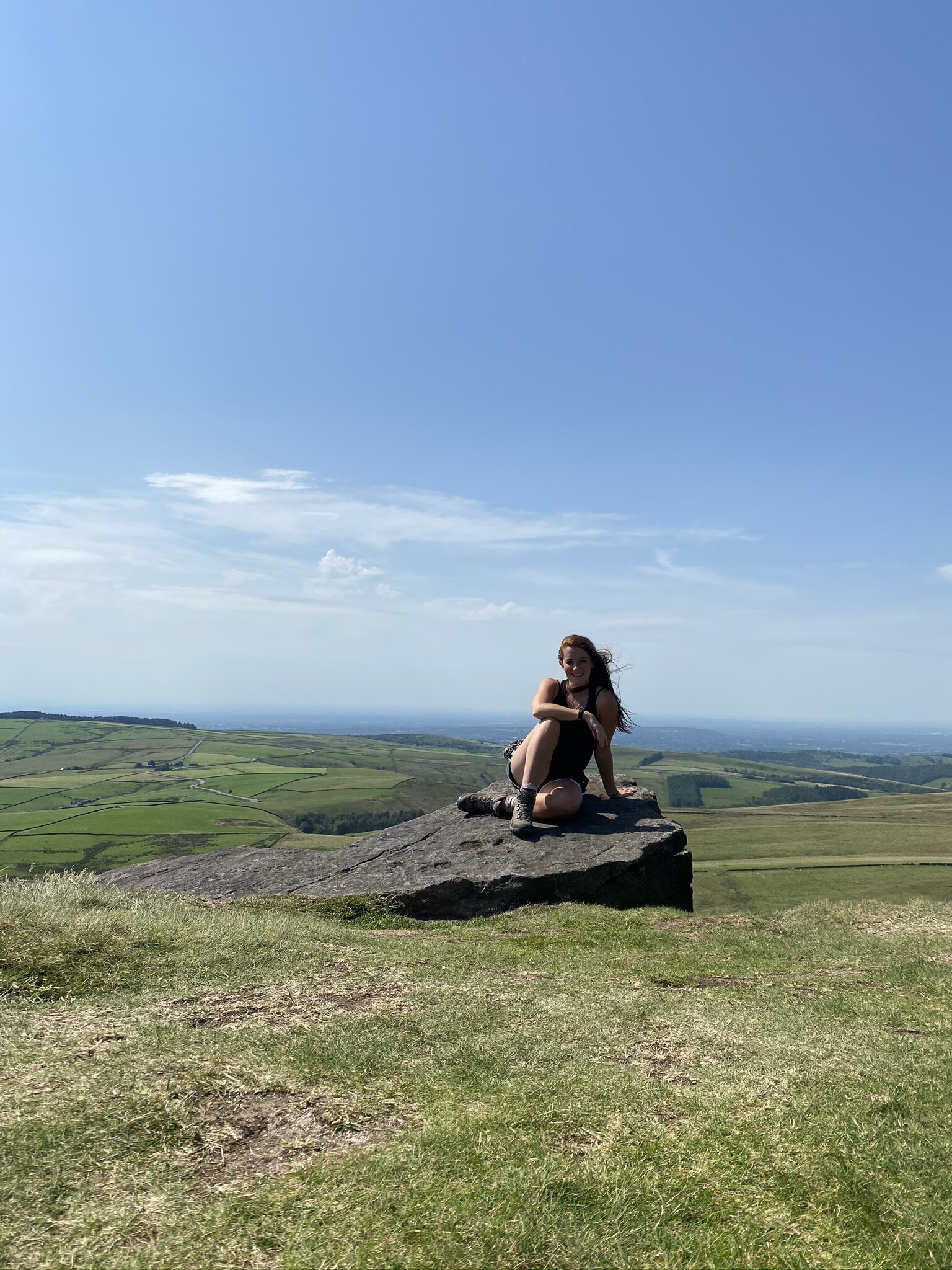
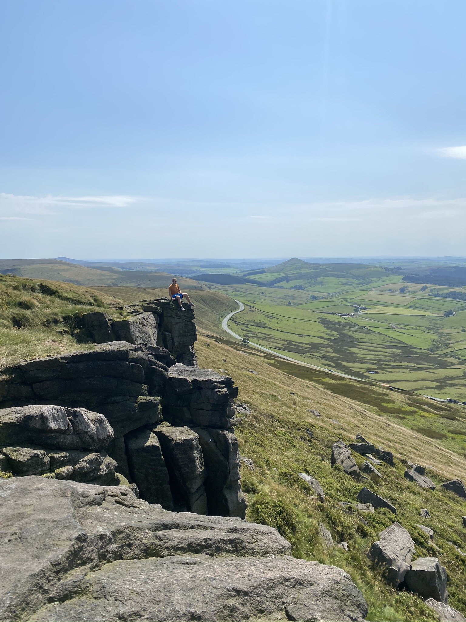
Take some time at the summit, to enjoy the surrounding views. To the West, you’ll have views of The Peak District, including Shutlingsloe and also the Clwydian Hills in North Wales. On a clear day, you’ll be lucky enough to admire views of Snowdonia’s towering peaks. We were really lucky with the weather and enjoyed our picnic on the top of the rugged rock outcrops - with a lovely view of the Cat and Fiddle road below.
To continue the circular walk, go back through the gate and then turn left, with the stone wall on your left.
Follow the obvious path as it descends along the ridge. You’ll be able to see the higher ground of the Peak District to the right, including Kinder Scout. The city of Manchester will be visible on your left.
Continue along the path for almost 1 km, with the peak of Cat’s Tor directly ahead of you. Here you’ll notice that the wall and path make an obvious turn to the left. Just before this turn, there is a faint, grassy path that leads off to the right - take this right path. If you have reached the lowest point of the ridge and then start climbing towards Cat’s Tor - you’ve gone too far.
Follow this grass path as it meets a forestry track - follow this track and enter the forest. Here, the grass will steepen, as it descends for approximately 0.75 km.
Here, you’ll reach a rickety wooden gate, keep following the track as it leaves the forest and takes a sharp bend to the left.
Keep following the track as it makes its way downhill, with picturesque views of the Goyt Valley. You’ll eventually reach a signpost to “Errwood Car Park”. Continue along the track for another 200m.
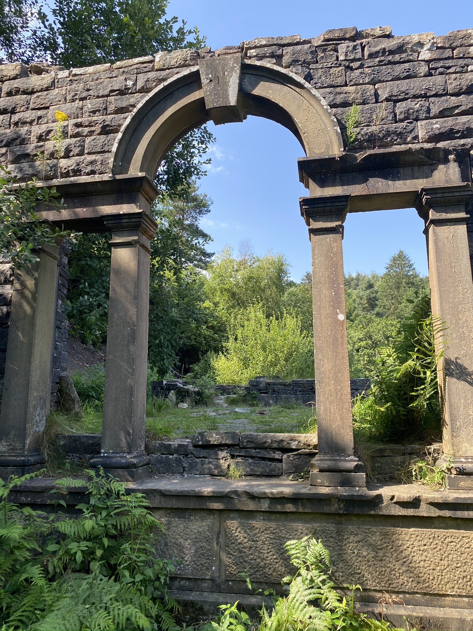
Here you’ll pass a path that forks off to the left, with two stone pillars either side of the track. This is the old entrance to Erwood Hall. Ignore this path, and continue along the main track.
Another 200m along, you’ll pass a track signposted “Erwood Hall”. This will lead you to the ruins of the old hall - just a minute’s walk from the main path. If you have time, it’s definitely worth the detour.
After a little explore, head back to the main path and turn left, continuing downhill to the car park.
Pass a green-painted metal gate, and take the path off to the left, passing a gap through the stone wall.
Continue down a grassy slope, with Errwood Reservoir directly ahead of you, where you will reach the edge of Errwood Hall Car Park.
Shining Tor Circular Walk - Map

Shining Tor Circular Walk - Gallery


Other Posts You Might Like…